
Life must be different every single day for the people who live in the village on Holy Island, off the Northumberland coast. It's an island only at high tide. At low water a proper road called the Causeway is exposed, and traffic - in season, quite a lot of it - can get onto Holy Island for a while. That's the cars of residents, delivery and Royal Mail vans, buses, tourist and sightseers' coaches and cars, bicycles, and whatever else wants or needs to visit the island.
They can only stay a few hours, though, before the tide turns and creeps back to cover the Causeway. It's usually deep enough at high tide to make it impossible to drive through the water. Some try, of course. A van (actually an empty horsebox) driven by someone with a poor command of English (so that he couldn't read the warning signs very well) got stuck earlier this year - see the written report at https://www.bbc.co.uk/news/uk-england-tyne-47684980. These are two of the pictures, which show how deep the water gets:


I shouldn't think the water was quite as deep when the van's engine gave up, and the driver had to make his escape by wading. But he would have got pretty wet.
On the island, your attention is drawn to the times of high and low tide, and it's made clear when you shouldn't try to cross over to the mainland.


It's the nature of the tide to alter its times from day to day; so anybody who visits the island needs to look up the state of the tide when they intend to arrive, and when they intend to depart, and adapt their plans accordingly. The local bus service builds the safe period for making a crossing into its timetable - see https://passenger-line-assets.s3.eu-west-1.amazonaws.com/bordersbuses/BB/477-timetable-20190611-94d308bb.pdf. It makes for a very complicated schedule! You can easily see that occasional visitors might not study the tide table much, if at all, and non-local delivery vans especially must often take risks. It isn't worth it. Once the Causeway is covered, even by an inch or two of water, there is a risk of driving off it into sand or mud, or of flooding the engine compartment with water-splash. And yet who wants to hang around for a few hours, until it's safe to cross again?
Here's a map or two to show the line of the Causeway:


As ever, click on these maps to see the detail clearly.
The total length of the Causeway is about three miles, and you can see there is a middle section - which stays dry - with sections east and west which normally get covered by a high tide. On the eastern section, you will almost certainly be able to turn around and return to the village to sit it out. But if already on the western section, where the water gets a lot deeper, you are definitely committed to get across or get stuck. As the road is a straight line, there is a temptation to plough on at speed, which might not succeed. 'Who dares wins' is an admirable motto, but it doesn't always work!
This YouTube video (https://www.youtube.com/watch?v=_31v_edZa7Y) is a time-lapse effort that shows how the sea steadily and inexorably covers the Causeway. At least it doesn't come in faster than a horse can gallop, as is reputedly the case in some spots in Morecambe Bay. This video (https://www.youtube.com/watch?v=UAgi2L-6ItI) gives a good impression of the Causeway starting to get covered by the incoming tide, at a time when lots of drivers are taking their last opportunity for hours to cross over to the mainland. It gets perceptibly wetter as you watch. Imagine the same scene in the dark, when you can't see what might be bringing the traffic to a standstill all the time. (As if anybody would attempt a crossing after sunset! But of course, this far north, the winter days are short, and night falls early...)
What if the worst happens, and you have to abandon your car? Well, both maps show a 'Refuge' on the Causeway, where the water gets deepest. This is what my post is really about: seeing what that refuge is like.
I should explain that there are two refuges. The other is for people who walk to Holy Island across the sands, no doubt following the ancient pilgrims' route to the Holy Island Priory. On the larger-scale map you can see a long line of posts marked on the sands south of the modern road, and a refuge for those walkers. Here's someone else's picture of this refuge:

It's a very basic affair indeed, hardly more than a platform. No roof, shelter from the wind only if you sit or crouch down, and not much room for a big party of walkers. But I don't suppose it's often used.
The refuge for people on the Causeway is much more sophisticated. This is the one I wanted to look at.
So here I am, one late-April afternoon, arriving on the Causeway from Beal, looking for a place to park. Actually, there's only one or two semi-official parking-places on the Causeway. But there are several level areas of firm shingle on either side of the road. While the tide is low, nobody seems to mind if you pull in and use them.


I find a place to leave Fiona some way beyond the refuge, and have to walk back. Fiona will be safe there for hours yet; but even so, I don't intend to linger long in this place. You never know what the sea might do.


As I get nearer to the refuge, I can begin to appreciate its construction.


It's built on the north side of the Causeway, next to a big drop where the road becomes a bridge over a river in the sand. It strikes me that if the sea were already lapping at the steps up to the refuge, and a bunch of people were clustered impatiently in waist-high water at the bottom of the steps, it would be easy to fall sideways off the road into deepish water.
Let's go up, open the door, and see what it's like. The door is never locked of course: and anyone can go up there.


I close the door, shutting out most of the breeze. It's really just a garden shed on stilts. There are windows facing south over the sands, and west along the Causeway towards the mainland. Nice views!


Look at that. The deep-water section of the Causeway is too narrow for cars to pass each other. That's what was causing the bottleneck in the second video.
The amenities of the refuge were few but to the point. There was a bench seat to sit down on, and possibly snooze upon if alone. Someone had left behind a towel - not that I was going to touch it with a barge pole in cold blood. But if I really were stranded, and very wet, it might be welcome.

And there was a dedicated telephone for summoning help. Although I imagine most people would try using their mobile phone first.

The place was devoid of a heater, or any lighting. And more than amply ventilated - one could say it was downright draughty. At least that made it smell fresh. The refuge was a minimal shelter, good enough for its purpose, but relying on you to be wearing suitable clothing to keep you from dying of hypothermia. On a sunny afternoon, though, it was easy to be cheerful. It was peaceful. I quite liked it up here.

I was almost reluctant to leave, but I wanted to see something of Holy Island, which I did. A few photos will sum the experience up.


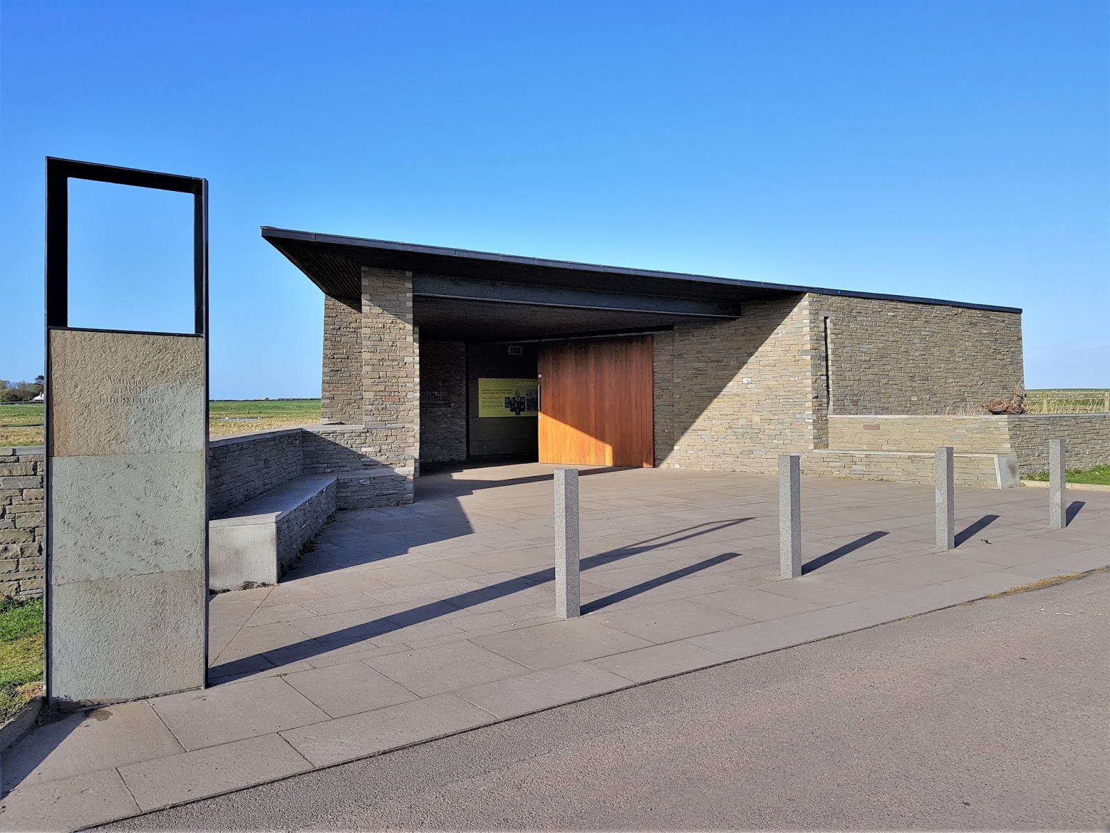


Lindisfarne Castle had closed for the day, and I still didn't manage to walk all round the island - another, much longer, visit will be needed for that. But I will be back.
The sun was starting to set. It was still very safe to cross back to the mainland, but I wondered whether I would find the refuge surrounded by encroaching sea on the return journey. Surprisingly, this wasn't so. The sea seemed as far out as earlier. It must make a sudden advance, but not just yet.

That shot just above shows the line of posts to guide people walking across the sands. I suspect there's as much soft mud as firm sand out there! After my Hilbre Island adventure in 2014, during which I was nearly sucked under, I'm wary of walking in such places!

That blob in the centre is the one-star refuge for walkers. I don't expect they rate a phone for summoning the Coastguard, and have to rely on waving and other signals. Tragic.

I parked Fiona, and walked up to the five-star refuge for some better exterior shots. Nary a ripple of surging sea-water in sight - yet.

Is that river a little wider? Or just my imagination?


Time to go home.
It really was time for home - next morning I left Northumberland for Stamford in Lincolnshire. Two days after I was back in Sussex, my month-long Scottish Holiday over.
